 Certbound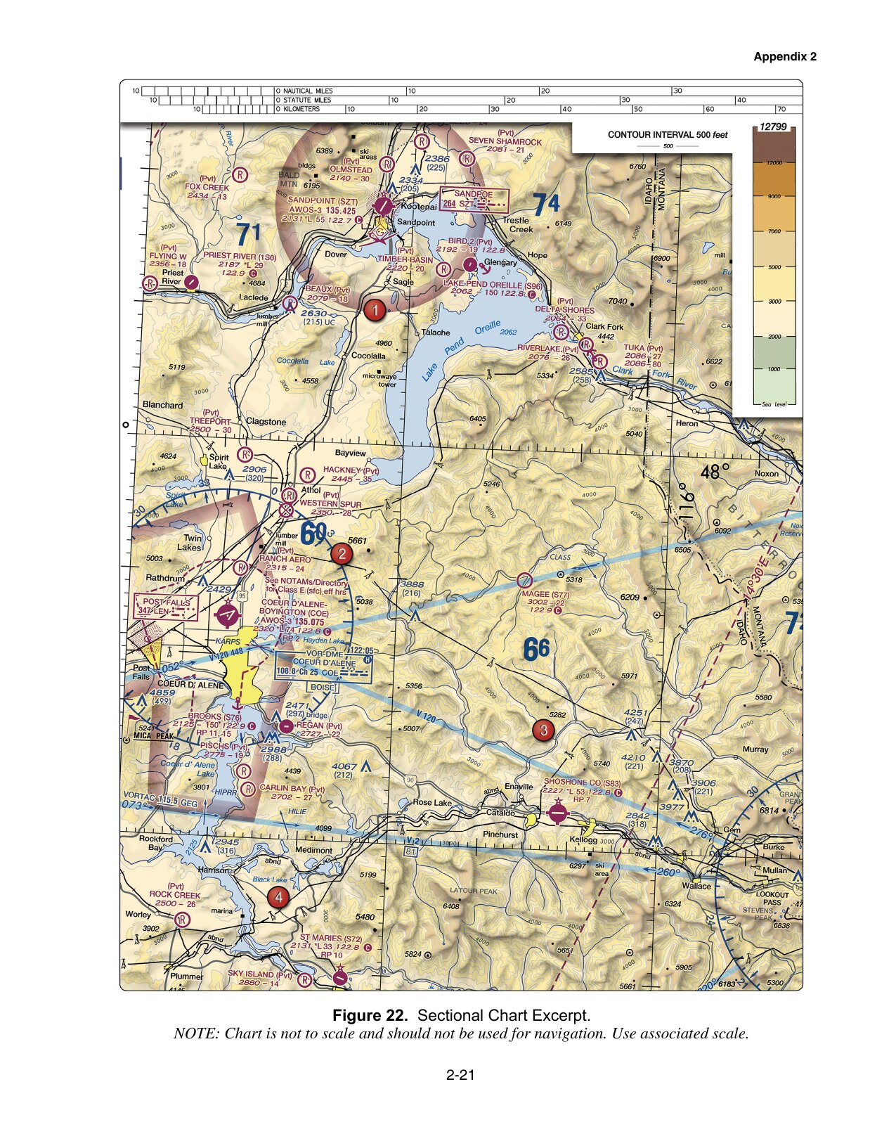
Use the whole figure before enlarging a detail
Check the figure number and the numbered area first. Then find the airport, sector, route or caution box named in the question. Enlarge figure lets you inspect the original image more closely; use the scroll area to move around it and Fit figure to restore the overview.
Keep nearby boundaries and labels in view. A number can be perfectly legible and still belong to a different airport or sector. Each question also links to its complete figure so the surrounding context remains available.
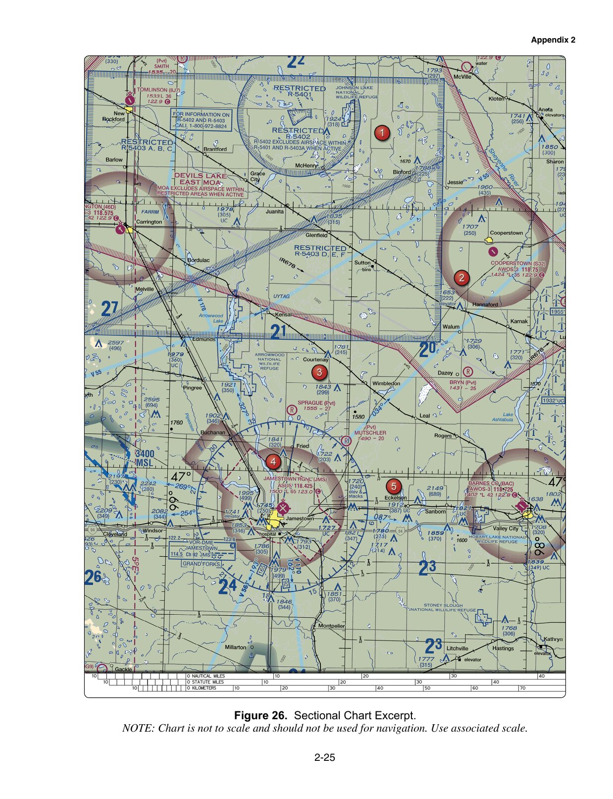
The images are FAA-CT-8080-2H training excerpts used by the 2021 samples. They are not current navigation products. A display zoom changes the size on your screen, not the chart's scale or the underlying data.
Three examples of a useful reading sequence
| Sample | Find | Read | Avoid substituting |
|---|---|---|---|
| 5 · Figure 22 | Coeur D'Alene airport data block | 122.8 with the circled C marking CTAF | The AWOS frequency or a separate communications box |
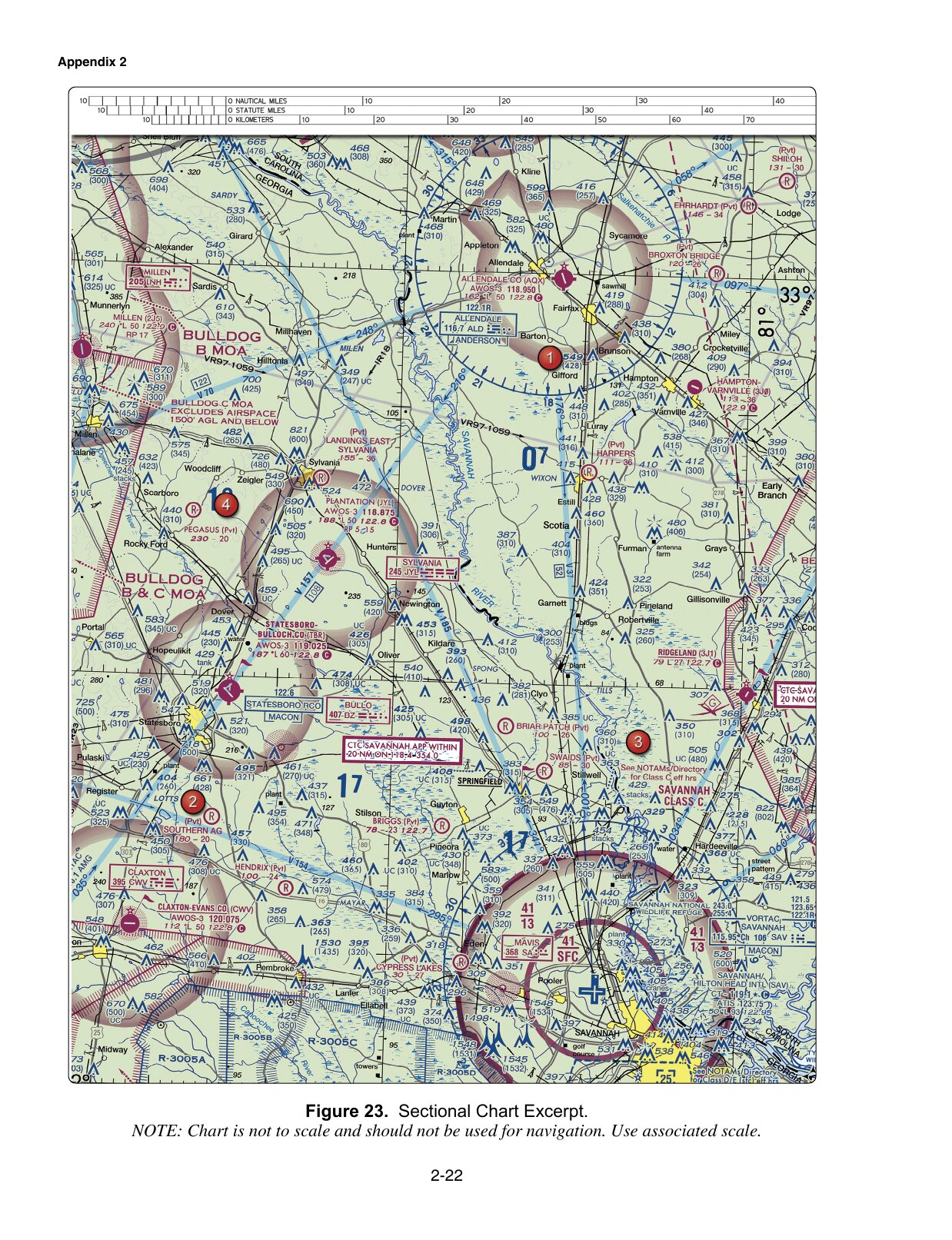
| 8 · Figure 23 | The Class C shelf sector named in the question | Floor 13 → 1,300 feet MSL | Another sector's value or an AGL label |
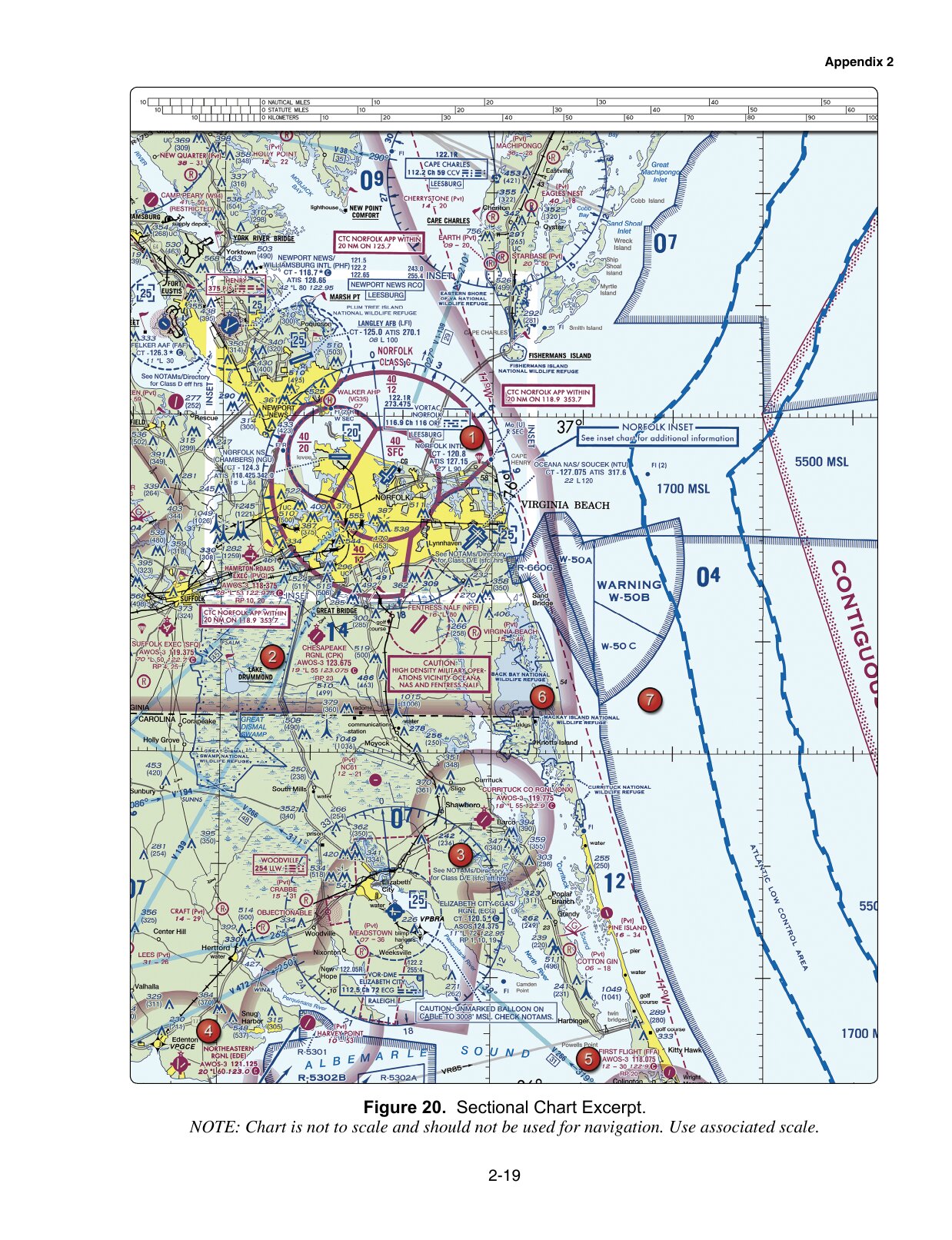
| 9 · Figure 20 | The balloon caution near the stated position | Cable to 3,008 feet MSL; check NOTAMs | AGL or a caution belonging to another location |
Those readings answer these training questions. They do not establish today's frequency, airspace boundary or balloon status at the named locations.
Use the FAA Chart Users' Guide to check an unfamiliar symbol. In question 5, the communications symbol distinguishes CTAF from other nearby frequencies. In question 8, the sector location and altitude reference matter together. In question 9, the caution's own wording supplies the hazard and its vertical reference.
Keep position, direction and distance separate
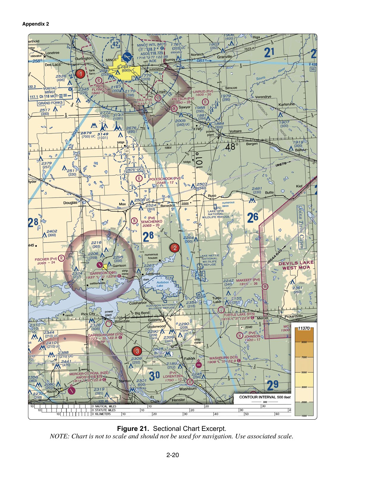
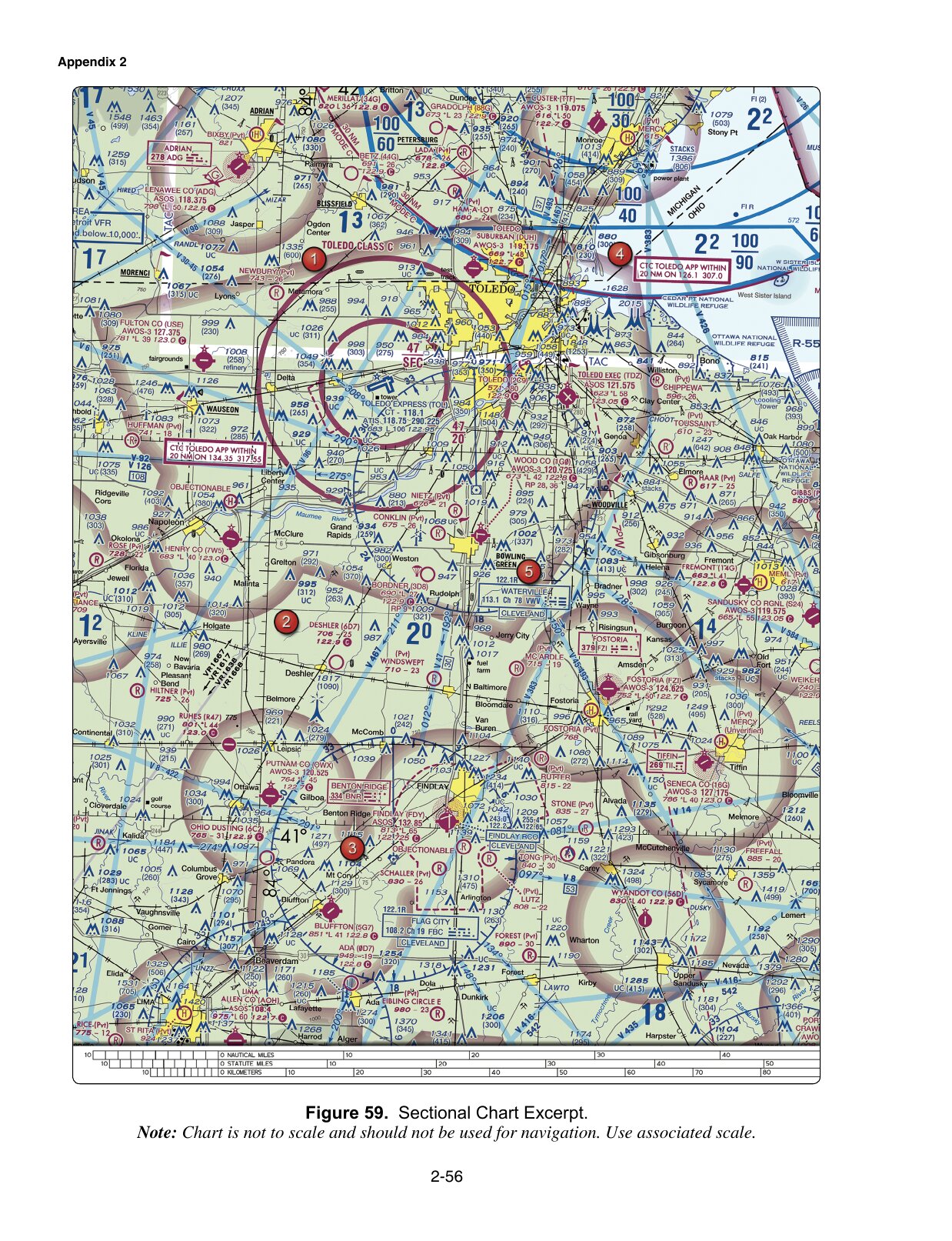
Question 24 gives latitude and longitude. Use the printed graticule and the named airports to locate the approximate position. Question 31 asks what latitude measures: north or south of the equator. The fact that a parallel runs across the page does not turn latitude into an east–west coordinate.
Question 18 requires a traffic-pattern interpretation. A downwind leg is parallel to the runway and opposite the landing direction. Combine that with the stated left pattern and runway orientation. Locating the runway number is not the whole reasoning step; the AIM's airport-operations section defines the pattern terms.
Do not measure a distance with a ruler against the physical size of a resized screenshot. The excerpts warn that they are not to scale and direct the reader to the associated scale. This practice does not ask you to manufacture a distance from a blurry or missing mark.
Know when the image is only the starting point
A military-area label, route number or NOTAM caution points to a further check. Questions 10 and 14 ask where to obtain information; question 13 requires a rule as well as the location. The supplied image cannot establish real-time activity or grant authorization.
Use airspace practice to work through those distinctions. Read the explanation and source together, especially when an answer depends on prior authorization or a current restriction.
Prepare for unfamiliar images
FAA's June 2026 testing advisory says the UAG will include image-based questions not found in the testing supplements beginning October 27, 2026. It also says that the date for removing supplements from test centers has not been set.
Use these published figures to learn a repeatable process: identify the requested location, read the relevant label, retain its units and apply the appropriate rule. Do not treat a memorized pairing such as “Figure 22 means C” as preparation for a different image.
The ten items here are a selected part of the full 46-question FAA sample practice. A result on them measures this attempt, not all chart-reading ability or readiness for certification. The FAA supplied the sample questions; the answer key and explanations on this site are Certbound's. Certbound is not affiliated with the FAA.